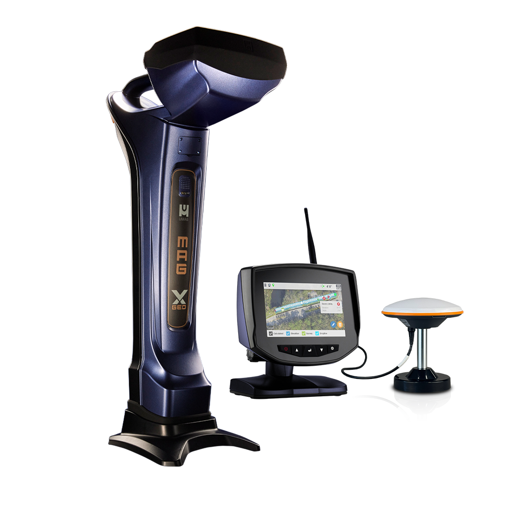
The Mag X Geo builds on our trusted platform with a 7-inch color touchscreen that delivers clear, at-a-glance data. Tactile, multi-function buttons provide intuitive access to key features through fly-up menus.
Log each rod’s pitch, depth, and GPS data while marking utilities as you expose them.
View progress in real time with Chart, Map, and Rod Table views to stay on target and reduce post-job cleanup.
Guide every move with tools like Dropline and Pitch Guide for GPS-directed path and depth control, or engage Bore-To for projected depth and target alignment.
Boost accuracy and efficiency with one easy-to-use locating system built for real jobsite demands.
» RTK-Enabled GPS with 1–3 cm Accuracy
» GPS Tracking including Elevation
» Automatically Record Rod-by-Rod Metrics
» Views: Overhead Aerial, Side Profile Chart, Rod Table
» Tools: Bore-To Steering, GPS Dropline, Pitch Guide
» Logging: Rod Pitch, Roll, Temp, Depth, and GPS Data
» Add Utility Crossings with Type, GPS, and Depth
» Generate, Share, and Sync Reports from Receiver
» Real-time Project Monitoring
For link to the offical UM website click HERE